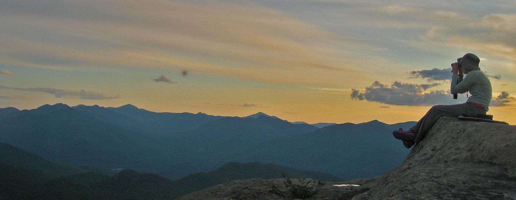
Since 2000, hundreds of adventurers have combined their passions for birds with their love of the mountains across eastern New York and Northern New England, providing powerful insight into the health of our bird populations that reside in our montane spruce-fir forests. They've become Mountain Birdwatch community scientists, and you can too by counting birds at a mountain near you on any day in June.
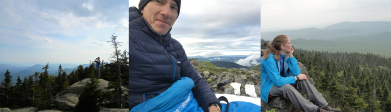
Mountain Birdwatch Scientists on their survey routes.
That could be you, in the photos above…
celebrating your first Mountain Birdwatch route like hundreds of other community scientists have over the last 24 years. With a short list of only 10 birds and one loud chattering mammal (red squirrel) to survey, a simple protocol, concise training materials and one-on-one help for participants, just about any hiker with an interest in birds can join.
You don’t have to be an expert–just enthusiastic–and participating is easy:
- Adopt an available route from the map below and reach out to Jason Hill () with all your questions;
- Learn the songs and calls of the 11 monitored (i.e., focal) species, review the simple protocol and training materials, and make sure you can hear the high-pitched song of the Blackpoll Warbler;
- Choose one day in June that works with your schedule and the weather. Hike up the mountain the day before, scout your route, and get to sleep. The next morning you’ll get up early and conduct your surveys at 3-6 sampling stations on a hiking trail. Hike to the summit to celebrate;
- Enter your data online and scan or mail in your datasheets and congratulations–you’re finished until next June!
The map below has been updated for the 2024 season. After Jason reaches out to last year’s Mountain Birdwatchers in early March, many of those pending routes will move to the available or adopted category. You’re welcome to reach out to Jason at any time to inquire about adopting a route.
Purple = available to adopt for 2024. Email Jason Hill ()
Gray = limbo land. Waiting to hear back from last year’s observer
Green = already adopted for 2024
Click on the full screen icon (upper right corner of the map below) to see the legend and the available routes. [Alternatively, check out this full list of all the routes.] Once you adopt a route, it’s yours until you no longer want it. You can always switch routes in subsequent years. Sometimes folks can’t survey the route that they adopted, so check this map again in mid-June to see if it’s become available or reach out to Jason Hill in advance.
Still wondering if you can do this? It’s only 10 bird species, 1 (very loud) mammal, one day in June, and 1 incredible experience. You don’t have to be an expert–just enthusiastic. You can do it–we’d love to have you be a part of the Mountain Birdwatch team!